


NDBC has recently revised the NDBC Handbook of Automated Data Quality Control Checks and Procedures. The new document can be found on our Publications page.
The map on the NDBC homepage no longer displays non-reporting stations by default. To view these stations, select the Non-reporting Stations option above the map.
Atlantic (West)
Australia
Bay of Bengal
Caribbean Sea
Central America
Chile
Europe
Gulf of Alaska
Gulf of America (West)
Gulf of America (East)/Florida
Nova Scotia
Pacific (North)
Pacific (West)
USA-Alaska
USA-Hawaii
USA-Great Lakes (East)
USA-Lake Superior
USA-Northeast
USA-Northwest
USA-Southeast
USA-Southwest
World
(24 hours for tsunami stations)
(within previous 24 hours)
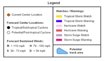
Note: The tropical storm cone of uncertainty contains the probable path of the storm center but does not show the size of the storm. Hazardous conditions can occur outside the cone. Tropical cyclone positions, forecast tracks, watches and warnings are provided by the National Hurricane Center and/or the Central Pacific Hurricane Center.
Events in the last twenty-four hours
DART® II Performance Characteristic/Specification Summary
Search historical meteorological data for observations that meet your threshold conditions.
To view Canadian Historical Data, see Canadian Moored Buoy Historical Data and Canadian Drifting Buoy Historical Data.